-
Research

Spatial Dynamics of Human-Wildlife Interactions
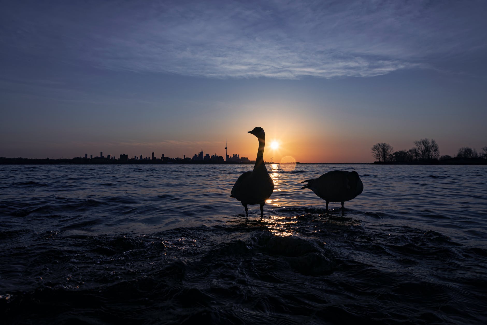
Nature-based apps have exploded in popularity over the last decade and have created a new avenue for studying human-nature interactions, specifically positive ones, which are generally understudied, especially in urban areas. In this project, I am using data collected through iNaturalist to better understand the spatial dynamics of positive human-wildlife interactions across cities. Specifically, I am looking at which types of land uses and neighbourhoods are over and under-represented in the data from nature-based apps, and how these spatial dynamics change over time and by taxonomic group.
Ecological Connectivity Within Cities
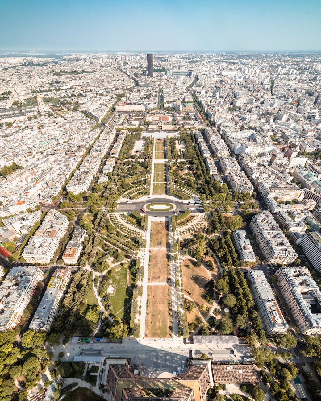
In urban areas, habitat loss and fragmentation pose a threat to biodiversity, making it essential to maintain and restore connectivity within and across cities. In this project I am mapping fine-scale patterns in the connectivity of green spaces across both public and private lands in Halifax. With this project, I am particularly interested in looking at the role that smaller greenspaces play in the provision of connectivity across cities and how networks of connectivity for wildlife overlap with access to greenspaces for people in different neighbourhoods across the city.
As part of this project, the Nova Scotia Crown Share Land Legacy Trust hosted a virtual charrette exercise to bring together a diversity of community members with a deep knowledge of the area to create a conceptual map for wildlife corridors extending across the western portion of the Halifax Regional Municipality. Through the exercise a series of maps were produced to identify areas that are not currently being considered in connectivity planning, but should be and to advance the work of the Halifax Green Network Plan by utilizing the extensive local knowledge of participants.
Final Report of the Charrette: Nova Scotia Crown Share Land Legacy Trust. (2021). Wildlife Corridor Landscape Design Charrette: Chebucto-Timberlea-Sandy Lake area of Halifax, NS. Summary Document. Nova Scotia Crown Share Land Legacy Trust, Halifax, NS. 55 pp.
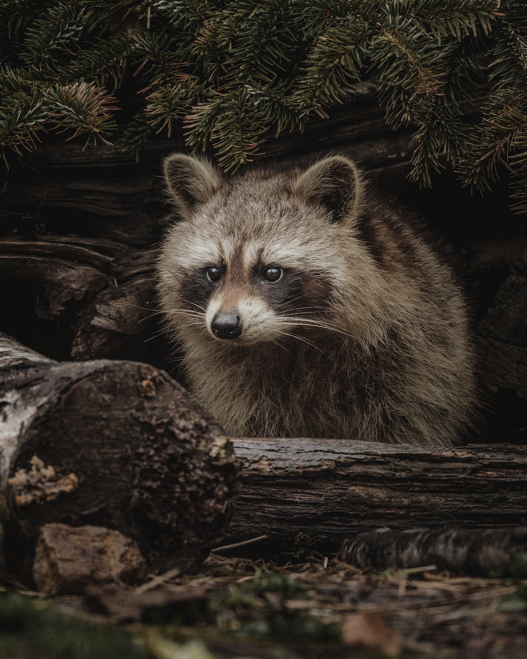
What Would Cities Look Like if Wildlife Had Rights?
This project asks the question of what would cities look like and how would they function if wildlife had rights? By extending the right to the city framework to urban wildlife, I am working to advance conversations in more-than-human urban planning and design. This project explores what the more-than-human right to the city would mean, what it would take to achieve three key, inter-linked rights for wildlife (as originally articulated by Shingne 2020) in practice: (i) the right to access the spaces and resources of the city; (ii) the right to self-identify one’s needs to allow one’s self to thrive and; (iii) the right to active consideration in urban decision making processes.
Past Projects
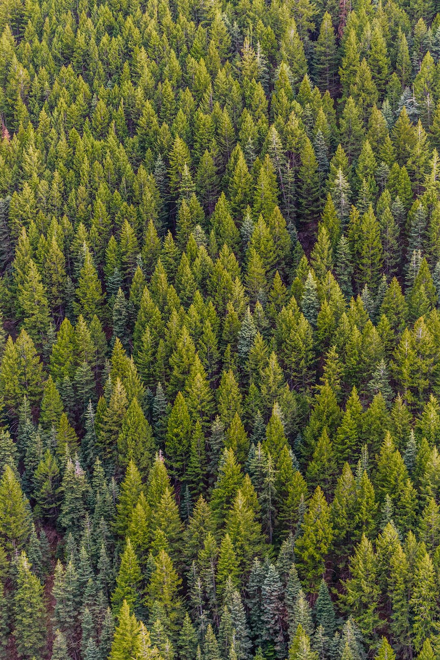
Forest Connectivity in Nova Scotia
In 2016, the Governors of the New England States and the Premiers of Atlantic Canada passed Resolution 40-3, which recognizes the significance of the Northern Appalachian-Acadian forest at both local and global scales, and calls for the maintenance and restoration of ecological connectivity across the region. In collaboration with the Nova Scotia Department of Lands and Forestry, this project examined the current state of forest connectivity across the province as part of the province’s commitments to resolution 40-3. Patch based and circuit theory methods were used to map patterns of forest connectivity across Nova Scotia. Within this project, a new method for analyzing changes in patch-based metrics across landscapes was developed.
Final Report of this project: Cunningham, C., Beazley, K., Bush, P. & Brazner, J. (2020). Forest Connectivity in Nova Scotia. Report by Dalhousie University in partnership with Nova Scotia Department of Lands and Forestry.
